At NEWSAL, we offer practical and research-informed GIS consulting services to support environmental planning, natural resource management, and sustainable development. Our work is grounded in field-based data collection, open-source tools, and scientifically sound methodologies tailored to the needs of rural, urban, and ecologically sensitive landscapes.
Cost-effective solutions using proven open-source tools
Tailored Approach
Customized solutions for rural, urban, and sensitive landscapes
Field Expertise
Ground-truthed data collection and validation
GIS Service Components
Comprehensive geospatial solutions covering every aspect of spatial data management and analysis.
Surveying and Data Collection
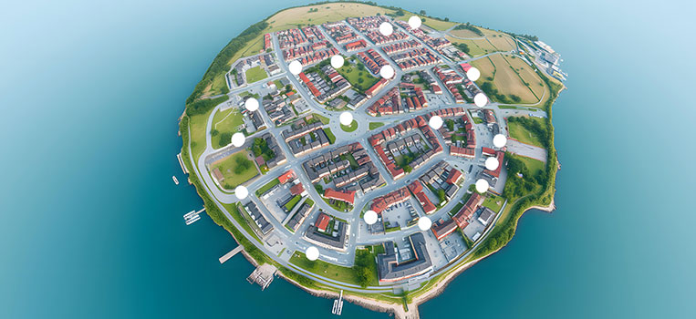
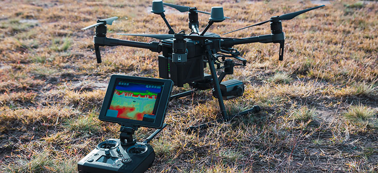
We undertake geospatial surveys using GPS devices and mobile data collection platforms to gather accurate, location-specific information. This enables the creation of baseline spatial datasets and thematic maps for environmental monitoring, land use assessments, and planning interventions.
GIS Modeling & Spatial Analytics
We utilize spatial analysis to interpret environmental data and model trends across landscapes. Our services include land use change analysis, watershed mapping, and scenario-based modeling for risk assessment, ecological restoration, and development planning.
Data Digitization and Management
We digitize physical maps and field records into geospatially referenced digital formats. Our approach ensures organized spatial databases that support long-term project planning, monitoring, and decision support.
Satellite Imagery Interpretation
Using publicly available remote sensing data (e.g., Sentinel, Landsat), we conduct image analysis for land cover classification, vegetation monitoring, and change detection. These insights contribute to data-driven conservation, afforestation planning, and urban-rural landscape assessments.
2D/3D Map Production
We develop high-quality 2D and basic 3D thematic maps that visualize terrain, hydrology, vegetation, and infrastructure. These maps aid in communication, stakeholder engagement, and the integration of field knowledge with spatial planning.
Field Inventory Preparation
Preparation of comprehensive field inventory using advanced remote sensing and GIS techniques to support environmental assessments, biodiversity studies, and resource management planning.
Ready to Start Your GIS Project?
Let our GIS experts help you unlock the power of spatial data for your environmental, planning, or development project. Contact us today for a consultation.